Scan
Draw a box around the land you hunt.
Antlr shows where deer are likely to bed, feed and travel between the two, and the stand sites with a clean approach. Do it once at the kitchen table.
The map →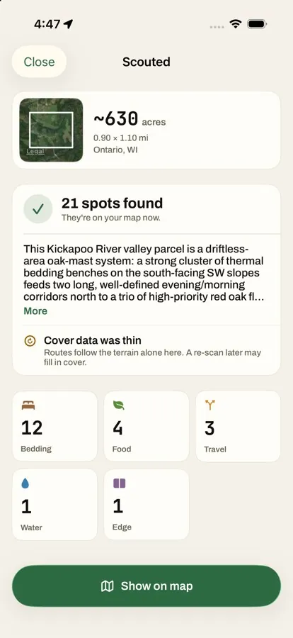
 Antlr
Antlr Antlr shows where deer are likely to bed, feed and travel between the two, and the stand sites with a clean approach. Do it once at the kitchen table.
The map → When deer are likely on their feet, hour by hour, for your ground and today’s weather, and whether the wind fits the stand.
Today’s read →Which stand fits tomorrow’s wind, when to be seated, and how to walk in without blowing it.
Hunt plans →Wind, thermals and legal light at a glance, and one tap to log a deer when one comes by.
In-Stand →Sat or didn’t, saw deer or saw none, what moved, whether the wind held. A few taps, and the next read has more of you in it.
Sits and sightings →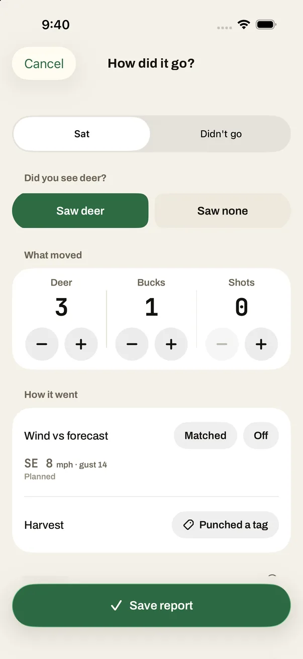
Mark aim and hit on the deer, get a wait timer for the hit, likely paths to search first, and the blood trail as you walk it. Then the harvest book keeps the day.
After the shot →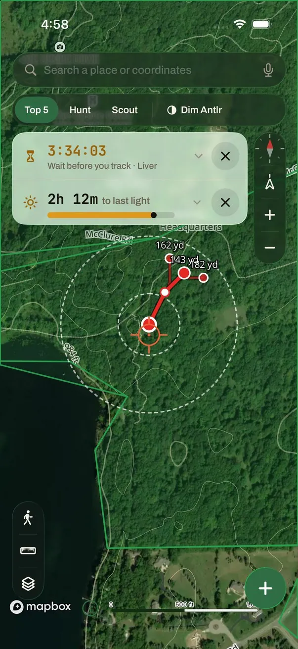
Draw the ground and drop a pin where you sit. No trail cameras, no collars and no seasons of data first. The first read comes from the ground and the weather; your reports sharpen it from there.
Deer do what deer do. Antlr says how sure it is about each read, and the page on how we check it says what’s been measured and what hasn’t.
How we check itAntlr reads terrain, weather, and the patterns in your camp’s history with real precision. You bring what no model can read: your woods, your deer, today. Every plan starts with our analysis and lands on your call.